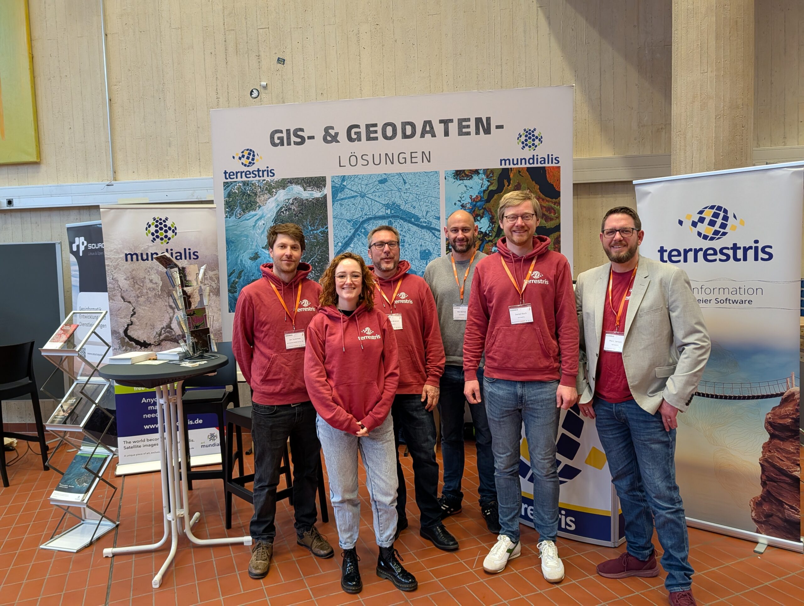
Your open source specialist for maps and spatial information systems.
Consulting / Conception & Architecture / Software Development & Services / Project Management & Agile Support / Quality and Test Management / Operation & Maintenance / Training & Workshops
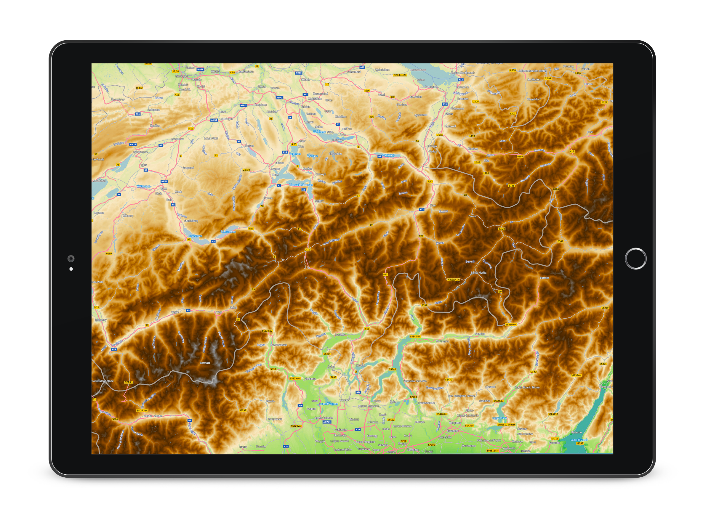
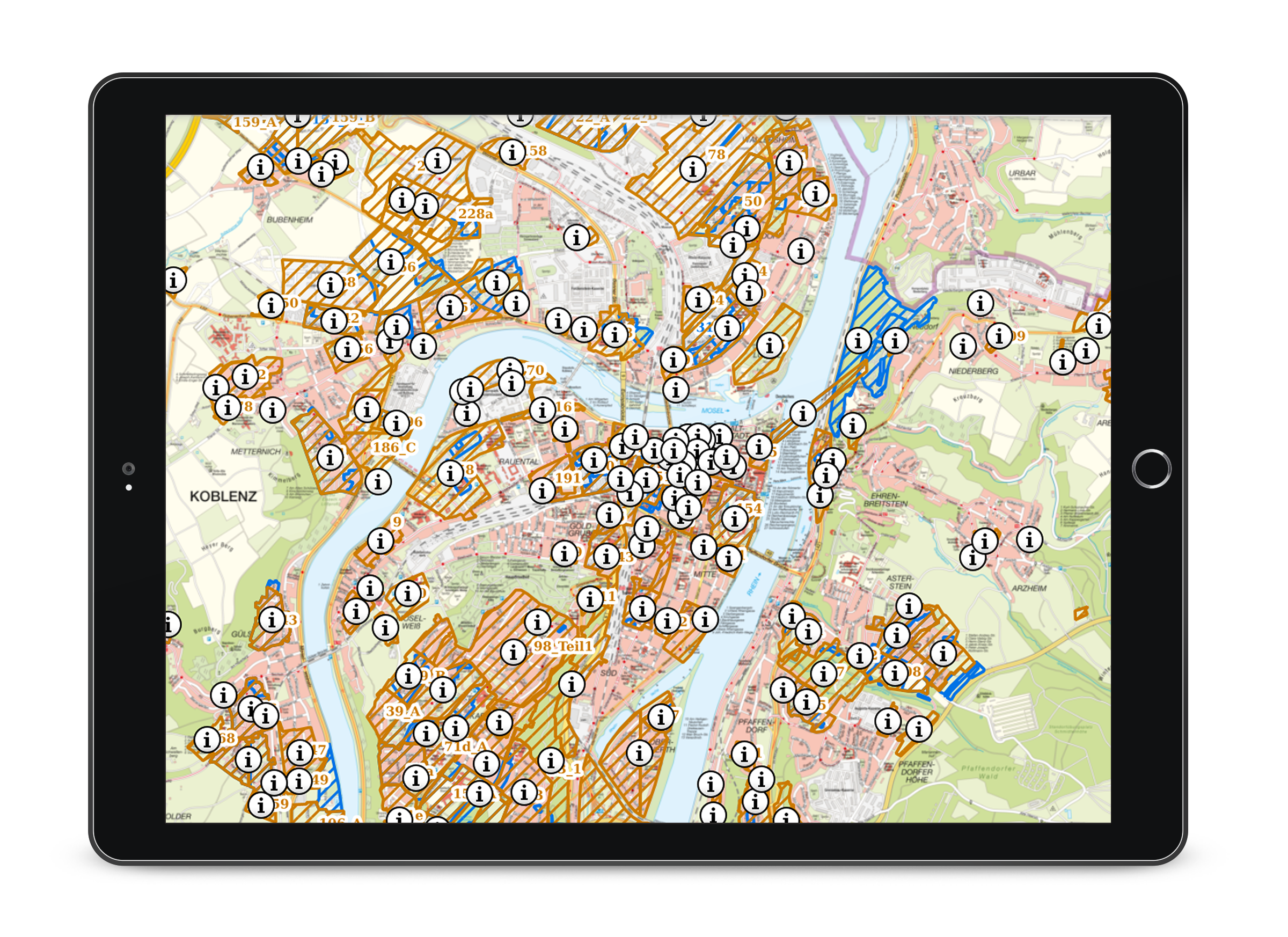
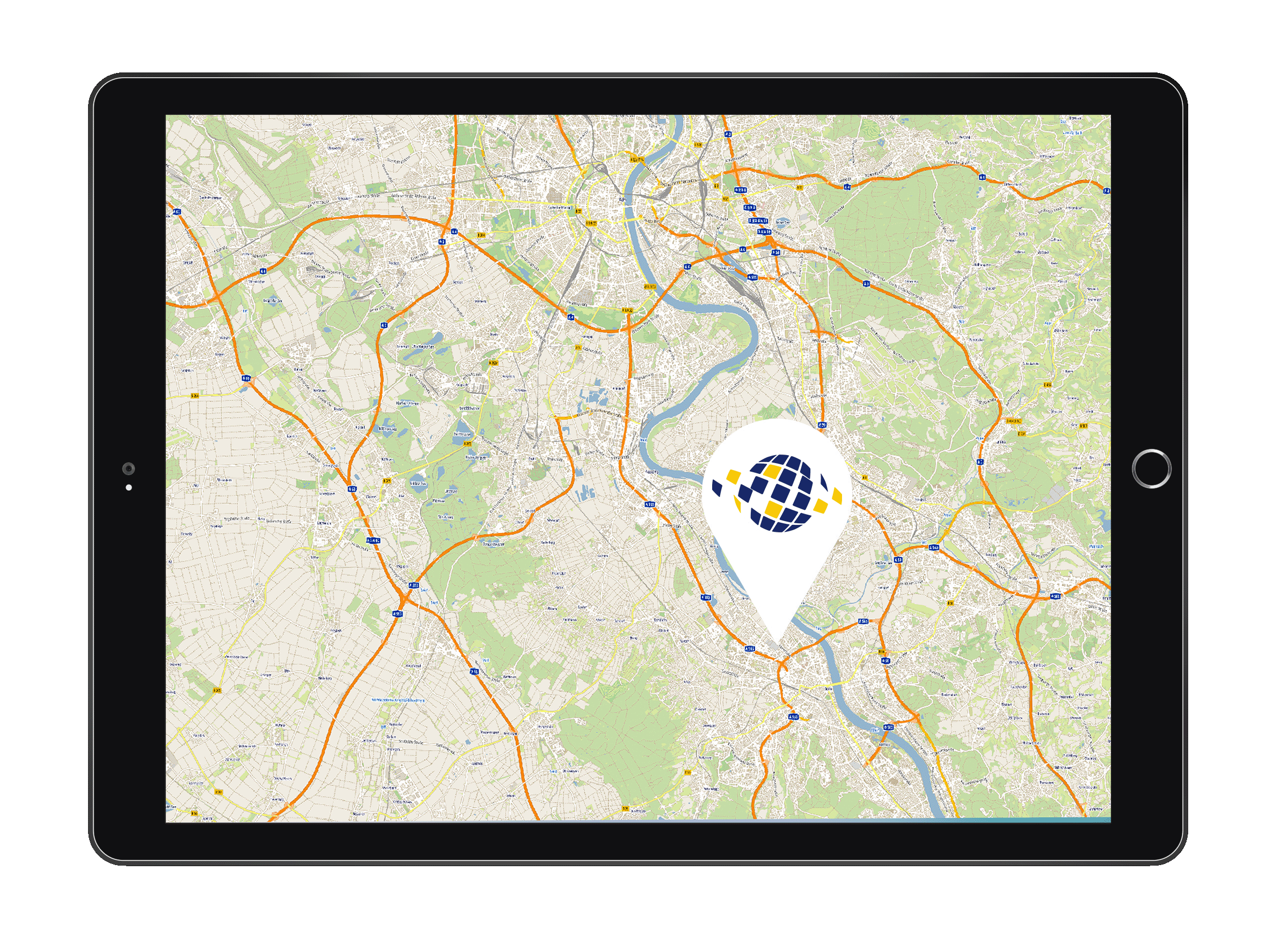
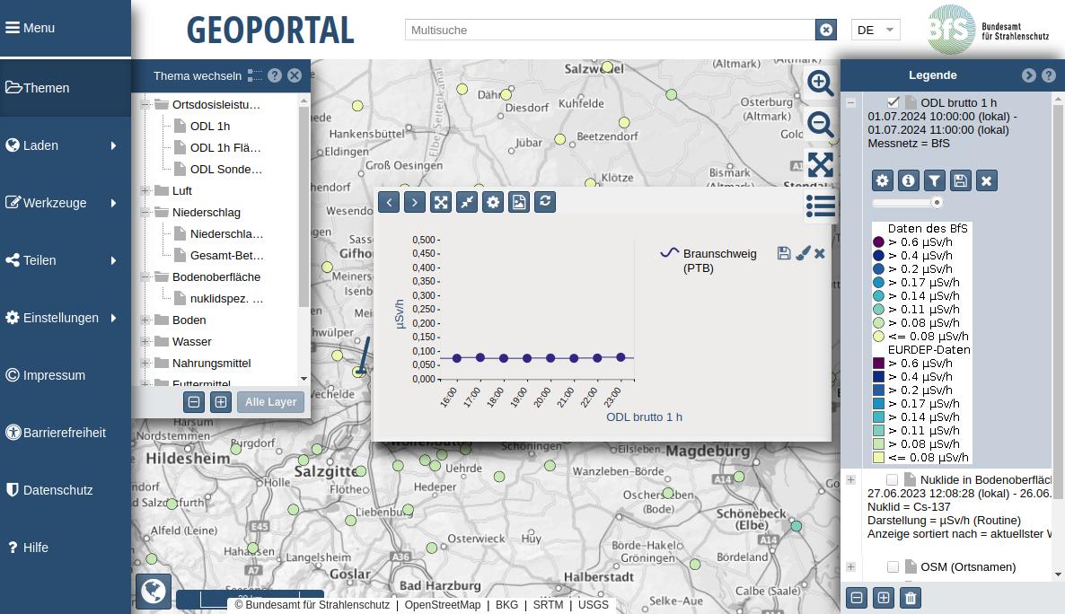
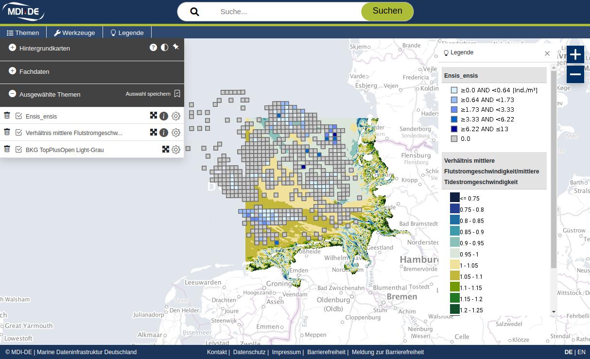
We offer open source GIS solutions that include interactive maps, 2D/3D data visualizations, and mobile tools for geographic analysis.
View all products
Our software enables user-friendly web applications and mobile GIS solutions designed for easy integration and visualization of geographic data.
View all software