Layername: OSM-Overlay-WMS
Base URL: https://ows.terrestris.de/osm/service?
Capabilities-Document: https://ows.terrestris.de/osm/service?SERVICE=WMS&VERSION=1.1.1&REQUEST=GetCapabilities
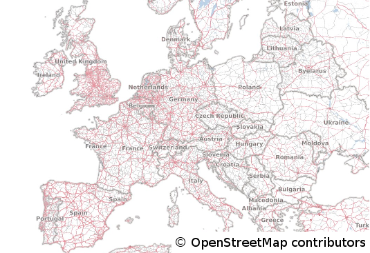
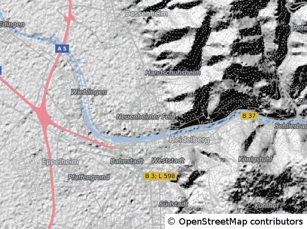
This WMS serves as an overlay for exisiting map data and can be used for better orientation. Based on the data of the OpenStreetMap-Project, it shows the major roads, places and waterareas. This service is especially useful when used together with aerial imagery or e.g. topographic data as a base. Please make sure to use an imageformat that supports transparency, like PNG.
The WMS is rendered with the help of GeoServer and is cached and accelerated with the help of MapProxy, updated weekly and covers the whole world.
We use the same mapscales like OpenStreetMap does, but we also added some useful cartographic scales to the range of cached zoomlevels:
- 1:1.000.000
- 1:500.000
- 1:250.000
- 1:100.000
- 1:50.000
- 1:25.000
These additional scales deliver good and readable results for maps that use these typical scales. The following coordinate system are available for the service:
- EPSG 4326 (WGS84)
- EPSG 25832 (ETRS89 / UTM Zone 32N)
- EPSG 31466 (DHDN / Gauss-Krüger Zone 2)
- EPSG 31467 (DHDN / Gauss-Krüger Zone 3)
- EPSG 31468 (DHDN / Gauss-Krüger Zone 4)
- EPSG 3857 / EPSG 900913 (Google Mercator Projection)
Notice:
As this service is based on the data of the OpenStreetMap-Project, you have to respect the corresponding copyright. If you use this service in your applications, make sure to include the copyright as stated here.
Demo (click for fullscreen):