The “Integrated Water Resources Management: Model region Mongolia (MoMo)” will regularly end for terrestris on April 30, 2013 after 3 years. The final workshop takes place from April 16-18, 2013 in the
Japan-Center during which the scientific and private enterprise organisations present the results of their work.
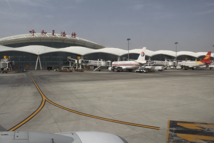
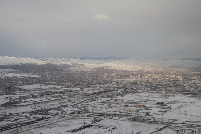
Getting to Mongolia proved to be a bit difficult because of strong snowfall on the morning of April 15th. The planes were diverted and one group had to wait 7 hours in
Hohhot the capital of Inner Mongolia in China,

while the other group faced the same challenge in
Irkutsk (Russia). In the evening the weather had improved so that the planes could safely land. Despite this delay the workshop was able to start on time as planned.

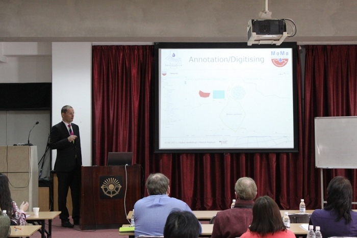
The task of terrestris was the implementation of a geoportal to make the abundant geodata of the two MoMo project phases (2006-2009 und 2010-2013) easily accessible.

An important aspect was the use of free software so that the Mongolian partners have a chance to use and further develop the geoportal after the project has finished. In this context the software components
Spring,
Hibernate,
OpenLayers,
GeoExt,
PostgreSQL,
Geoserver,
Geonetwork Opensource and others were used. The following functions (excerpt) are available in the MoMo geoportal:
- generation of line diagrams
- viewing of georeferenced picturs
- user and rights management
- printing
- annotation
- digitisation
- saving of work states
- shape up- and download
- adding external WebMapServices (WMS)
- Application Manager for interactive implementation of GIS-instances
- etc.
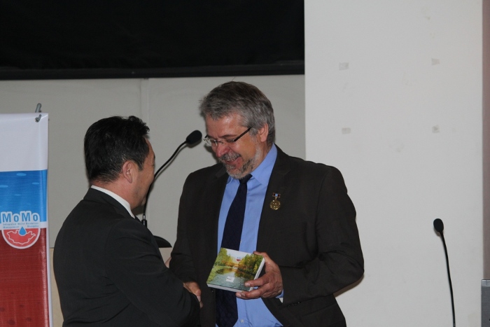
The geoportal is available on a Live-DVD and was handed over to the Mongolian partners during the final workshop.

 while the other group faced the same challenge in Irkutsk (Russia). In the evening the weather had improved so that the planes could safely land. Despite this delay the workshop was able to start on time as planned.
 The task of terrestris was the implementation of a geoportal to make the abundant geodata of the two MoMo project phases (2006-2009 und 2010-2013) easily accessible.
  An important aspect was the use of free software so that the Mongolian partners have a chance to use and further develop the geoportal after the project has finished. In this context the software components Spring, Hibernate, OpenLayers, GeoExt, PostgreSQL, Geoserver, Geonetwork Opensource and others were used. The following functions (excerpt) are available in the MoMo geoportal:

