Successful trip to Mongolia

At the beginning of December 3 people from terrestris went to Mongolia to conduct a geodata management workshop in the context of the project “Integrated Water Ressources Management in Central Asia: Model Region Mongolia (MoMo)”. The initial article can be read in our news section. Now we would like to report on our activities and experiences during the 2 week trip and also share some photos with you. When someone from Europe travels to Mongolia in December then one topic is predominant: The cold. Yes, it is very cold but to our surprise it was quite easy to endure -20°C and even -35°C, the minimum we experienced, with regular hats, jackets, mittens and long underwear. It is important not to stand around but to keep moving. The first day in Ulan Bator was spent shopping because we needed a local mobile phone card, some batteries as well as a plastic box for our data transmitting technology we were set to test in the Sognegor Valley. Shopping always takes quite some time which may also be due to the language barrier. On the second day our driver Natsga took us in his all terrain vehicle to Darkhan, the second largest Mongolian city located approximately 250 km to the north of Ulan Bator. The computer room designated for the workshop was prepared by the terrestris-team by installing the necessary software programs QGIS and JOSM. The workshop was opened by the MoMo project-coordinator, the german ambassador to Mongolia and the director of the Technical University of Darkhan. See also our first report on the trip to Mongolia. On the first day of the workshop there was a general introduction to geodata and geographical information systems (GIS) while the second day was designated to practical excercises using the free desktop GIS Quantum GIS. During the following three days practical mapping excercises took place the results of which were uploaded to the OpenStreetMap (OSM) platform.
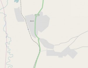
OSM map of Darkhan before our workshop

OSM map of Darkhan before our workshop

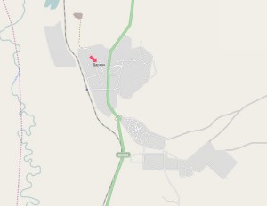
OSM map of Darkhan after our workshop

OSM map of Darkhan after our workshop

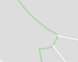
Roundabout in Darkhan before our workshop

Roundabout in Darkhan before our workshop

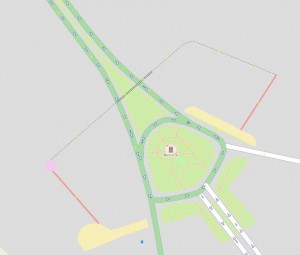
Roundabout in Darkhan after our workshop

Roundabout in Darkhan after our workshop

OSM is a free wiki world map that is being compiled by volunteers all over the world using GPS devices amongst other technologies. The workshop is deemed a success. Up to the workshop all participants were unfamiliar with the OpenStreetMap project and during the 5 days a fundamental understanding for geodata management could be generated as well as filling the map of Darkhan with information. The corresponding before/after images speak for themselves. In addition a number of lecturers from the Agricultural and the Technical University of Darkhan participated in the workshop who intend to offer courses of their own with some of the content presented in our workshop. For this kind of endeavour the OpenStreetMap platform is perfectly suited since it is available to interested people at all times. The last two days of the trip to Mongolia the terrestris-team spent in the Sognegor Valley where a number of MoMo sub projects are working. Besides exploring the valley we tested some modern data transmission technology. In this case it was special wireless LAN (WLAN) hardware operating at 5 GHz that allows high data throughput while using comparatively little energy. The test entailed the transmission of webcam photos from a mountain to a yurt over a distance of approximately 2 km. At -30°C the batteries lasted just under 4 hours and a total of 14 MB was transmitted. This test is also deemed a success and the team was especially impressed with the robustness and ease of use of the technology that has a phenomenal value for money ratio. At this point we would like to thank Prof. Dr. Christof Huebner from the Mannheim University of Applied Sciences as well as Mr. Bernd Strehhuber from the company plan b. solutions GmbH, who provided us with the technology.
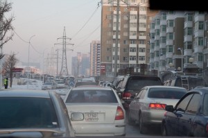
Usual traffic chaos in Ulan Bator.

Usual traffic chaos in Ulan Bator.

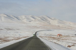
The highway to Darkhan.

The highway to Darkhan.

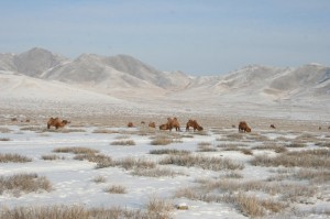
Grazing camels to the north of Darkhan.

Grazing camels to the north of Darkhan.

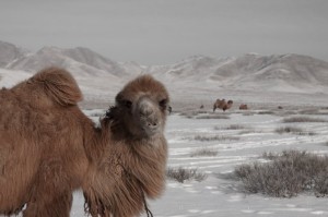
These camels are not timid.

These camels are not timid.

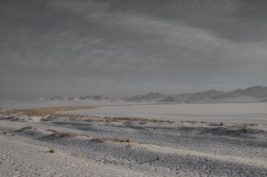
A snow covered salt lake to the north of Darkhan.

A snow covered salt lake to the north of Darkhan.

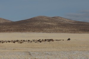
Goat herd with herdsman - a typical picture in Mongolia.

Goat herd with herdsman - a typical picture in Mongolia.

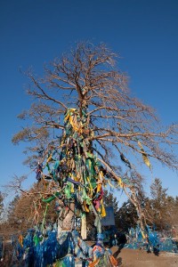
An especially impressive Ovo close to Sukhbataar near the Russian border. It is a shamanistic sanctuary.

An especially impressive Ovo close to Sukhbataar near the Russian border. It is a shamanistic sanctuary.

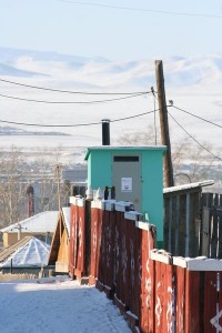
A MoMo sub project has developed a new type of toilet that allows the collection of faeces which are then used to generate energy. This also protects the soil and groundwater.

A MoMo sub project has developed a new type of toilet that allows the collection of faeces which are then used to generate energy. This also protects the soil and groundwater.

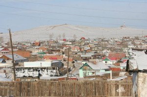
Panorama view of Darkhan.

Panorama view of Darkhan.

View of a district of Darkhan.

View of a district of Darkhan.

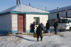
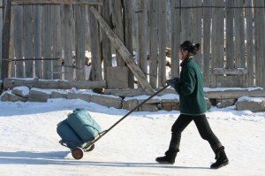
A water kiosk - since none of the houses or yurts has running water all supplies have to be brought in by jerrycans.

A water kiosk - since none of the houses or yurts has running water all supplies have to be brought in by jerrycans.

Lots of traffic at a water kiosk.

Lots of traffic at a water kiosk.

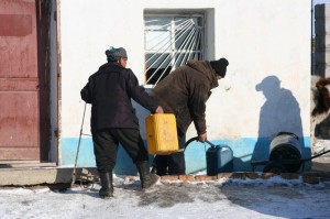
Jerrycans being filled at a water kiosk.

Jerrycans being filled at a water kiosk.

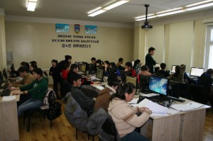
Workshop participants working at their computers.

Workshop participants working at their computers.

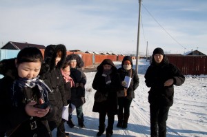
Workshop participants mapping.

Workshop participants mapping.

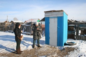
Mapping of latrines.

Mapping of latrines.

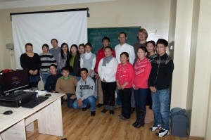
Group photo of course participants.

Group photo of course participants.

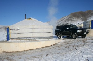
Our accomodation near the Sognegor Valley. Note the antenna that we could easily mount.

Our accomodation near the Sognegor Valley. Note the antenna that we could easily mount.

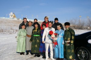
Mongolian newly weds enjoyed a joint photo.

Mongolian newly weds enjoyed a joint photo.

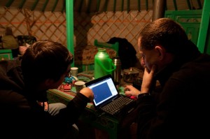
Working in the yurt.

Working in the yurt.

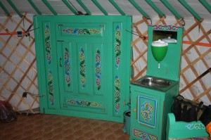
The entrance to the yurt from the inside. To the right of the door is the wash basin. The receptacle above the basin can be filled with water. The waste water flows into a bucket underneath the basin.

The entrance to the yurt from the inside. To the right of the door is the wash basin. The receptacle above the basin can be filled with water. The waste water flows into a bucket underneath the basin.

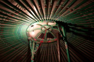
The yurt is elaborately decorated on the inside.

The yurt is elaborately decorated on the inside.

Rivers are frozen in such a way that you can easily drive an all terrain vehicle across the ice.

Rivers are frozen in such a way that you can easily drive an all terrain vehicle across the ice.

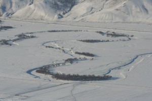
View of the valley and meanders of the Kharaa river.

View of the valley and meanders of the Kharaa river.

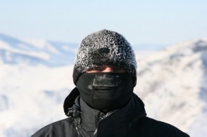
Good packaging helps you endure the temperatures.

Good packaging helps you endure the temperatures.

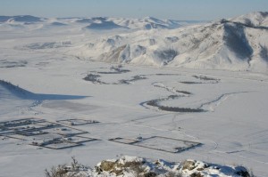
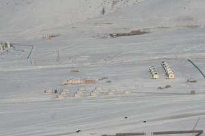
View from the mountain to our yurt camp.

View from the mountain to our yurt camp.

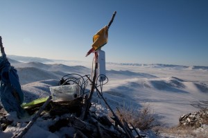
The antenna of the data transmission unit has been fastened to a stick in an Ovo. The webcam is located in the box.

The antenna of the data transmission unit has been fastened to a stick in an Ovo. The webcam is located in the box.

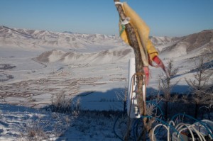
The antenna was aligned with the antenna on the yurt.

The antenna was aligned with the antenna on the yurt.

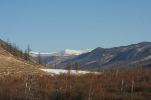
View in the Sognegor Valley.

View in the Sognegor Valley.

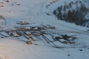
A village in the Sognegor Valley.

A village in the Sognegor Valley.

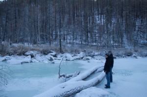
A frozen river at the end of the valley from where one can only continue on foot.

A frozen river at the end of the valley from where one can only continue on foot.