The Graphical Web in Zurich – final report
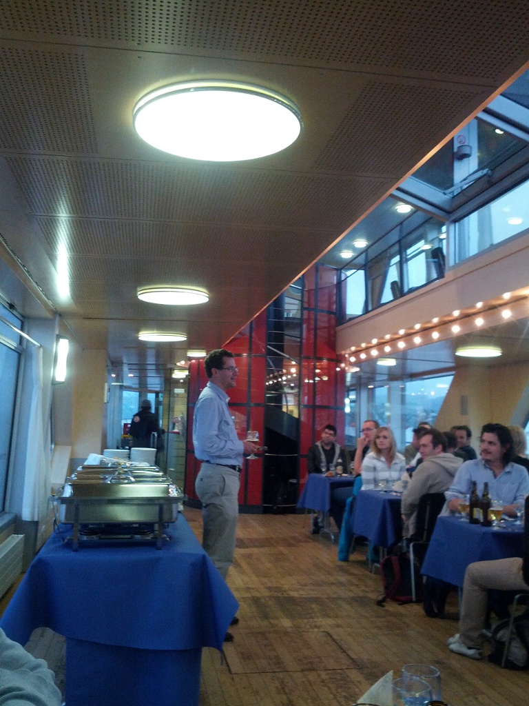
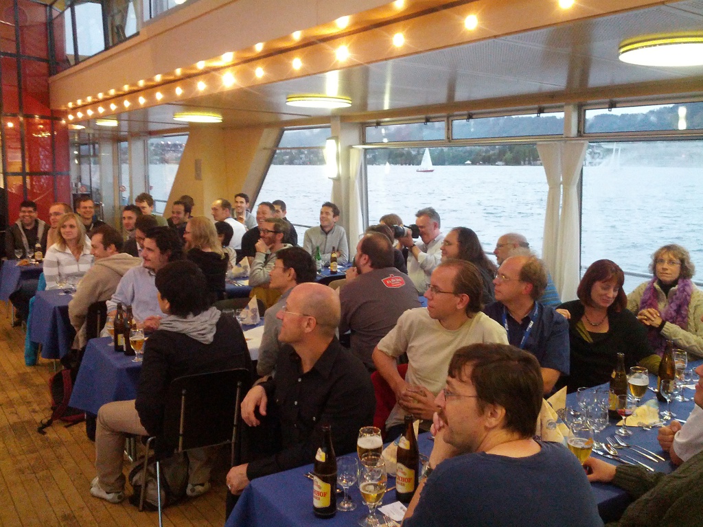
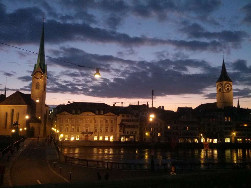
The WebGIS-Wednesday at the “The Graphical Web” (we reported) closed with a boat trip on lake Zurich. Enjoying the typical Swiss kitchen in pleasant company was the first topic on that evenings agenda while afterwards most participants let the evening draw to a close with the odd expert discussion here and there. Once again the excellent conference organisation has to be praised.
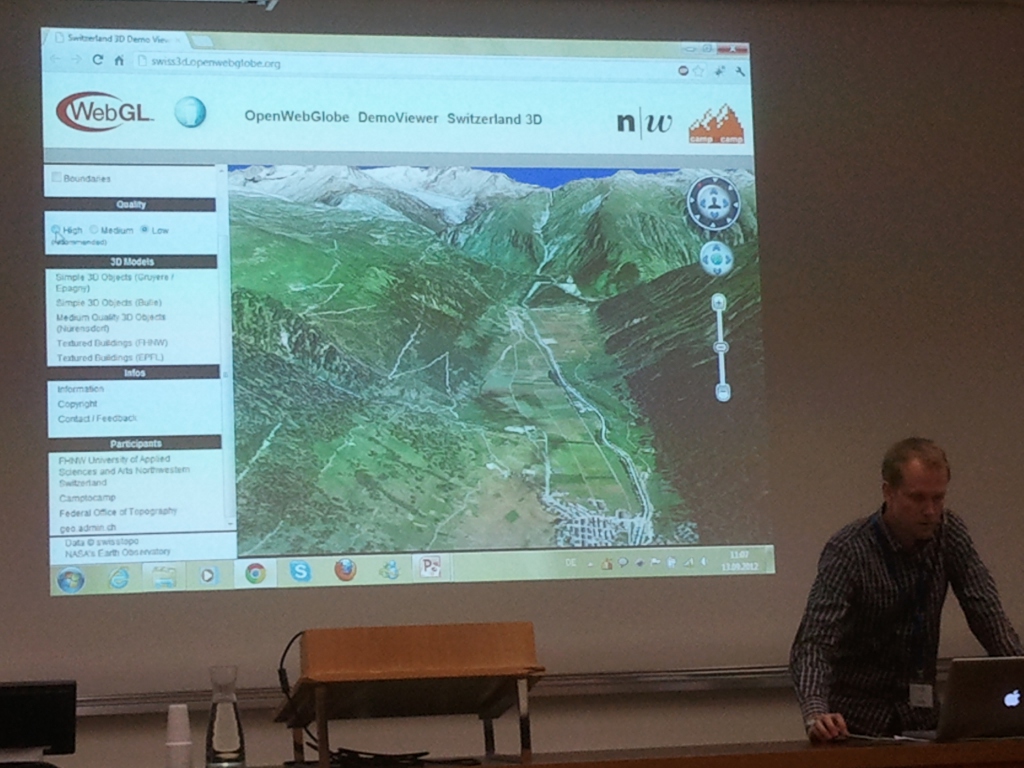
After the Wednesday was dedicated in large part to “2D Web Mapping and Web-GIS” the focus on Thursday was on WebGL-Applications in a spatial context. Initially a further dimension was added and two WebGL-based 3D-globes were presented: Robert Wuest of the University of Applied Sciences Northwestern Switzerland presented “Processing and Rendering Massive 3D Geospatial Environments using WebGL” plus amongst others the OpenWebGlobe Viewer and the corresponding SDK. This Open Source Project (MIT License) looks very promising and will be ported to Version 1.0 in mid 2013. In the not so distant future terrestris will also present a 3D-Web-Globe-Application with the integration of further OpenGIS-Webservices, i.e. a Sensor Observation Service.
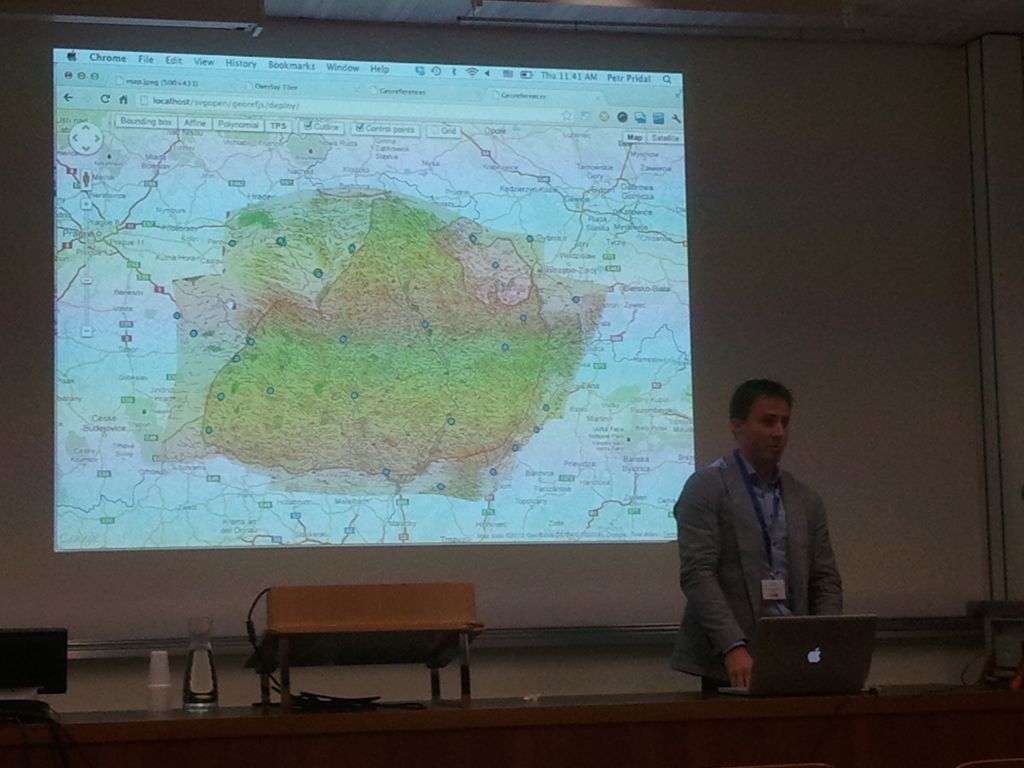
Afterwards Petr Pridal of Klokan Technologies GmbH presented another Open Source Web-Globe: WebGL Earth (GPLv3 license). Here also one can utilise JavaScript and a simplified JavaScript-API to quickly and easily integrate a web based globe into any website. Also very impressive was the demonstration of Georeferencer, an online tool to georeference scanned maps. It is awesome how normal such processes have become in standard browsers while only a few years ago elaborate desktop software was needed.
In the second block after the lunch break “WebGL and SVG Applications” there were interesting talks to be heard and seen regarding visualisation using WebGL and SVG, often with a geographical and spatial context.
From our point of view one presentation merits mention regarding the development of a national Atlas for the Netherlands by Barend Koebben (University of Twente – Faculty of Geo–Information Science and Earth Observation (ITC)). The aim of this project is to utilise data from the national spatial data infrastructure and to arrive at a harmonised online map collection in form of an atlas. From the SDI data is merely extracted from several standard Web Feature Services (WFS) that are directly visualised in the Client . The Closing Keynote “Wow: Compelling Visual Experiences from the frontiers of Open Web” followed and ended the official part of the conference.
On Friday, the last day of the conference, eight workshops were on offer. Amongst others terrestris-staff Marc Jansen and Christian Mayer gave a split workshop regarding “An introduction to building WebGIS applications with OpenLayers and GeoExt“. Marc Jansen started with an introduction into the JavaScript-mapping-library OpenLayers in the version 2.12. Afterwards Christian Mayer presented examples of application developments with GeoExt 2, which after the codesprint in May is available as a beta-version. With 10 participants the workshop was well attended and received a very positive feedback.
terrestris would like to thank the conference team at this point for the smooth organisation and the support on site.

