Saturday morning, the day on which the conference participant could not really but had to decide.
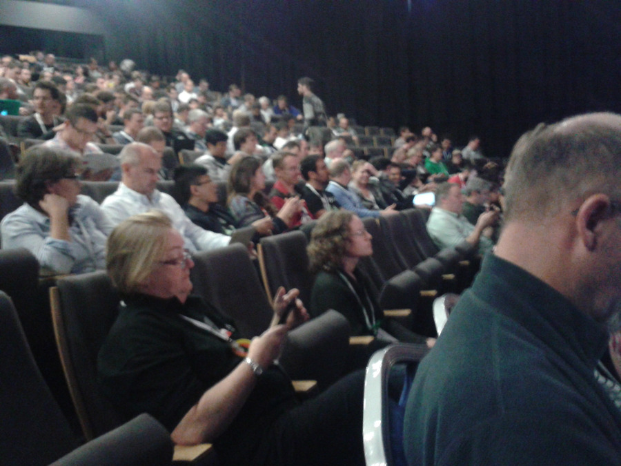
View into the auditorium
Status reports of the projects OpenLayers, Leaflet, PostGIS, MapServer, MapProxy etc. were on the agenda. The parallel track of the presentations regarding the status of the projects
OpenLayers 3 und
Leaflet can only be deemed unfortunate.
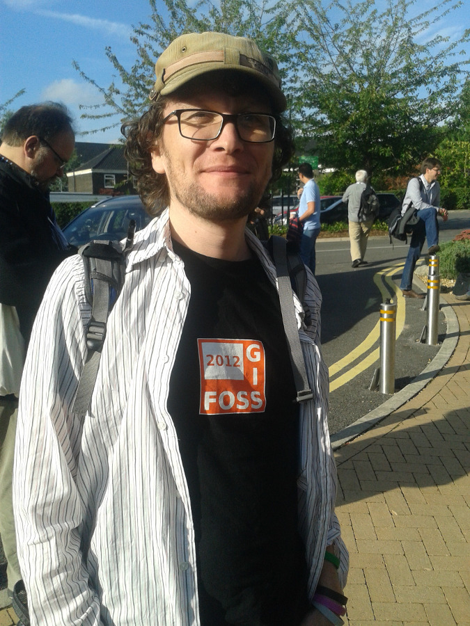
Steve Ottens during FOSS4G
Interesting are the new MapServer functions that will be available as of version 6.4. Enhanced labeling possibilities, that are to be completely reworked for version 7, the display of complex symbols as well as the possibility to export expressions to list elements, probably significantly reducing spaghetti map-files, can be highlighted.
Finally, with
ScribeUI, a project was presented that provides a graphical user interface to create and manage mapfiles. In addition an API was presented that allows the remote access to create and manage MapServer services. The API contains more or less the same functions that are currently available in
GeoServer. The era of text based parsing of mapfiles should be history due to this.
At the end Chris Helm spoke about the abundant possibilities of „GIS und JavaScript“. Libraries cited were, amongst others, shapely, topoJS, JSTS,
D3 and many more. In this context the possibilities regarding vector tiles (vector data delivered as tiles to a browser) were discussed. We are convinced that the direct processing of vector data in a browser will tremendously enhance the possibilities that are there already and that it might revolutionize web mapping as such.
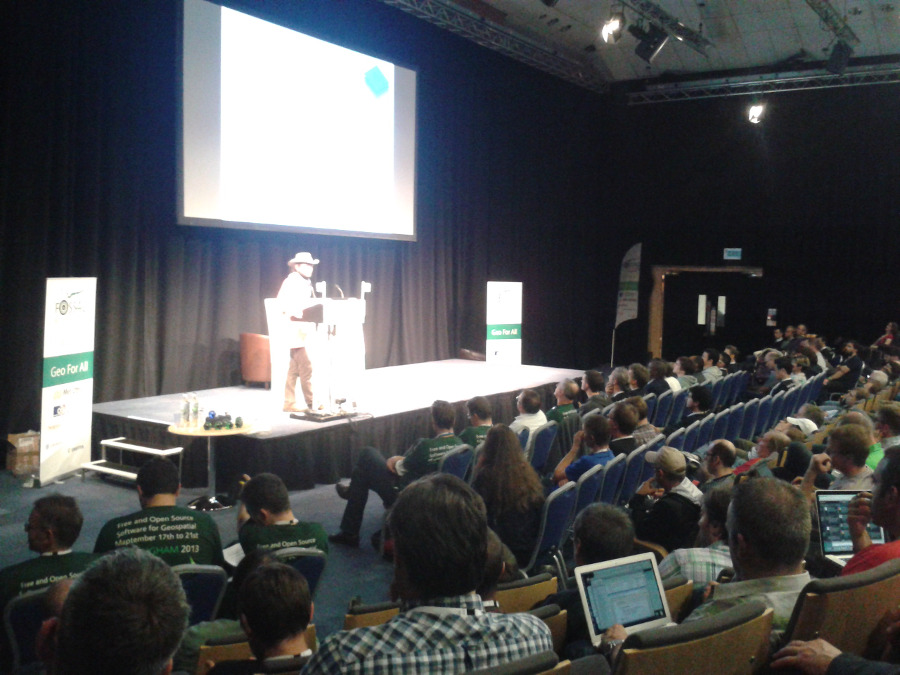
Jáchym Čepický presenting the WPS-Shootout
From a personal point of view the acknowledgements at the end plus the seemingly endless proclamation of
FOSS4G-Heroes was a bit much but it ended the conference. The next one will be held in
Portland 2014.