„We are here and we are not going anywhere.“ This sentence from Tim Sutton expresses precisely why the long held prejudice against Open Source Software is plain wrong, that these kind of projects are unstable because the developers are here today but gone tomorrow. He pointed to 11 years of QGIS development with currently several million lines of code, examples and documentations. No serious observer would deem it likely that such a project would disappear over night and therefore not employ such software in ones’ own organisation.
Presentation by Tim Sutton
It is interesting to observe quite a few (semi-)open mapping portals like
mapbox or
mangomap, even though the possibilities of individualisation are limited. At least these allow the easy publication of a limited number of geodata sets.
One project to highlight is
“Humanitarian OpenStreetMap Project” (HOT), led by Kate Chapman, which promotes the social engagement and development assistance of OSM volunteers. The HOT project shows that using Free Software in developing countries is especially beneficial, since generated knowledge can be transferred to other areas after the end of the project. Access to the Free Software used is maintained while this is not always the case when using proprietary software. OpenStreetMap data that was previously available before a mission, gets complemented by the HOT team and local volunteers and often constitutes the only comprehensive data set.
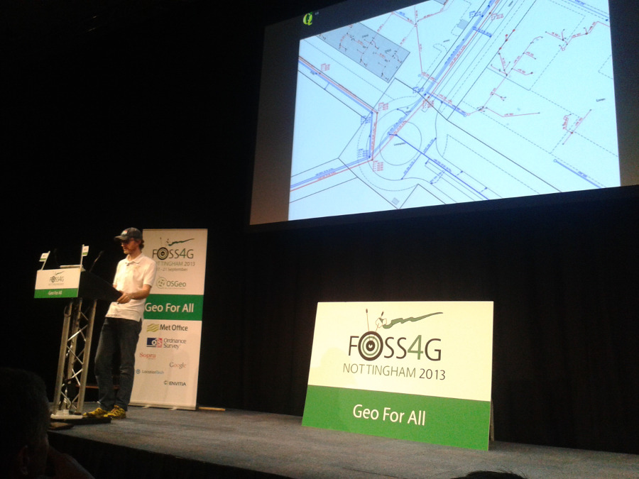
There are also new things to report from the 3D GIS world. Besides the talk by Till Adams about the
“Brandenburg 3D project“, which is involved in the visualisation of 3D-data via PostGIS and GeoServer in a ExtJS based 3D Viewer, the presentation by Olivier Courtin from the company Oslandia, which talked about
“A New Dimension To PostGIS: 3D“ was very interesting. Missing functions, that made us take some technolgical detours in the past, will be available as of version PostGIS 2.1 through the integration of the geometry algorithm library CGAL.
In the afternoon a BOF (birds of a feather –> informal meeting) took place regarding GeoExt. In this context some dynamics are to be expected. A new release of GeoExt2 based on ExtJS 4.2.1 is imminent. Participants of the FOSS4G code sprint were, amongst others the GeoExt developers Marc Jansen, Bart van den Eijnden and Julien-Samuel Lacroix.
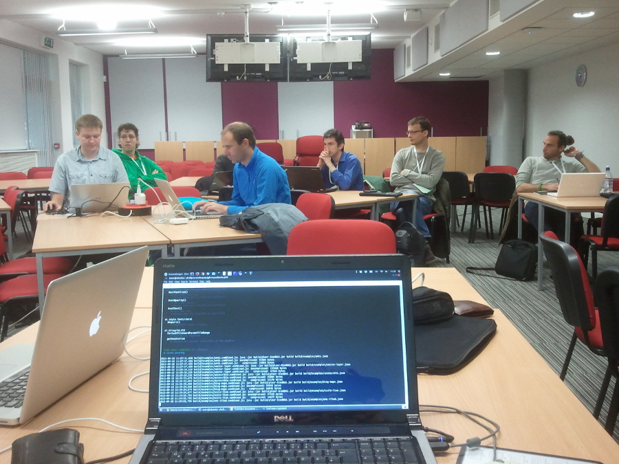
Code sprint
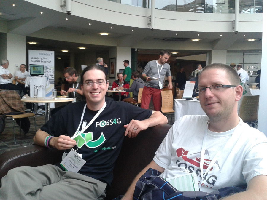
A well-earned break (Julien-Samuel Lacroix, Mapgears and Marc Jansen, terrestris)
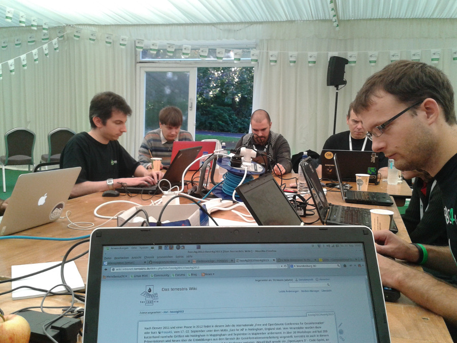
Code sprint
In the evening the annual meeting of the local OSGeo chapter took place. From the german perspective the news is laudable that the german FOSSGIS e.V. will apply as host for the FOSS4G 2016. The leadership of the society spoke with representatives from the OSGeo board about this endeavour on an informal level preceding the application.