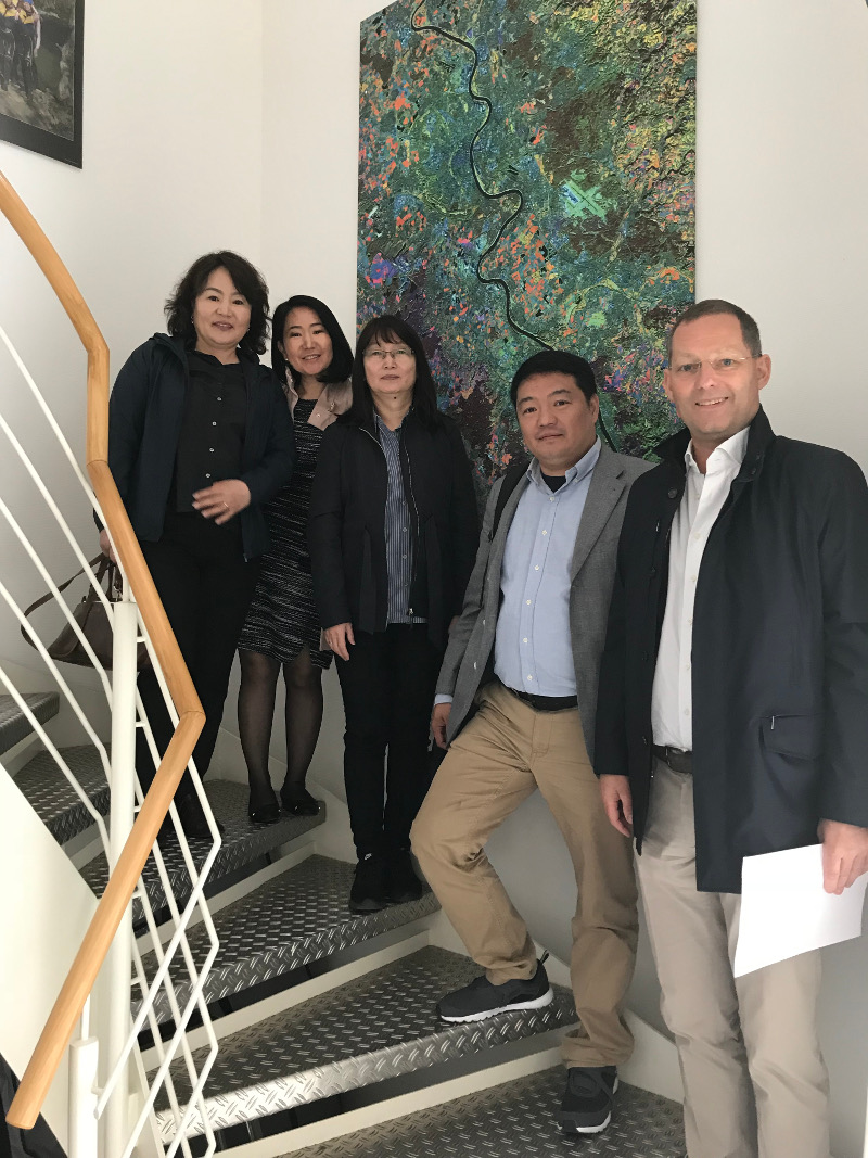
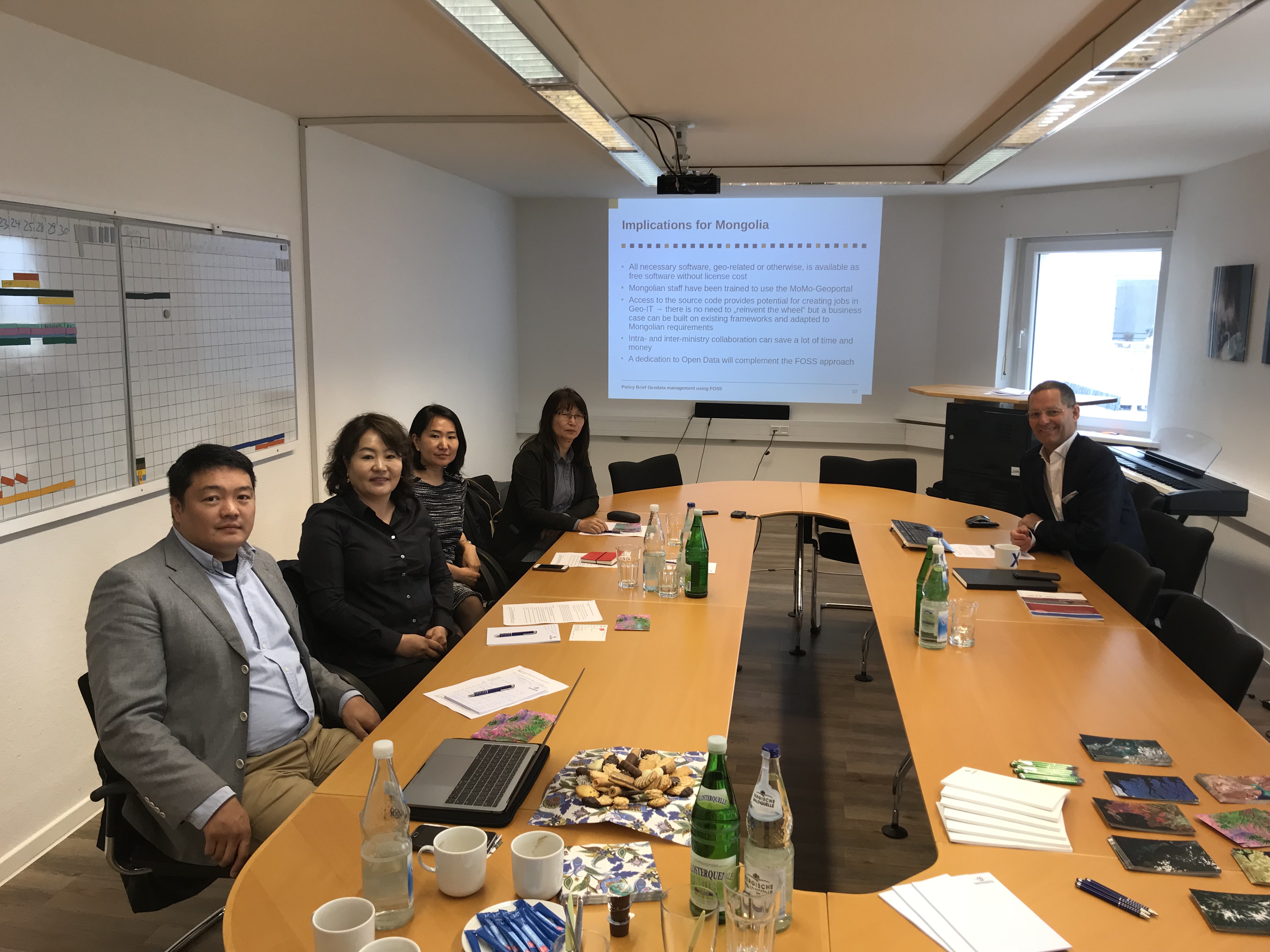
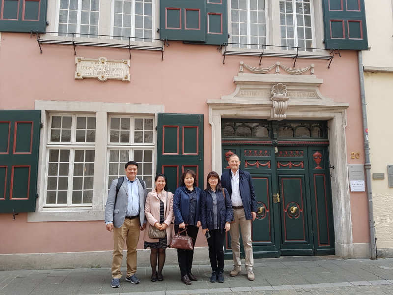
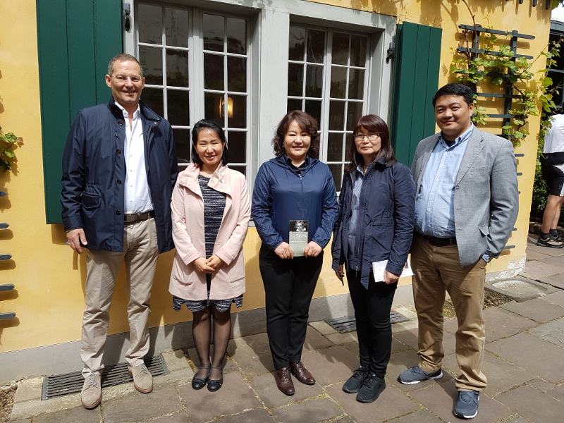
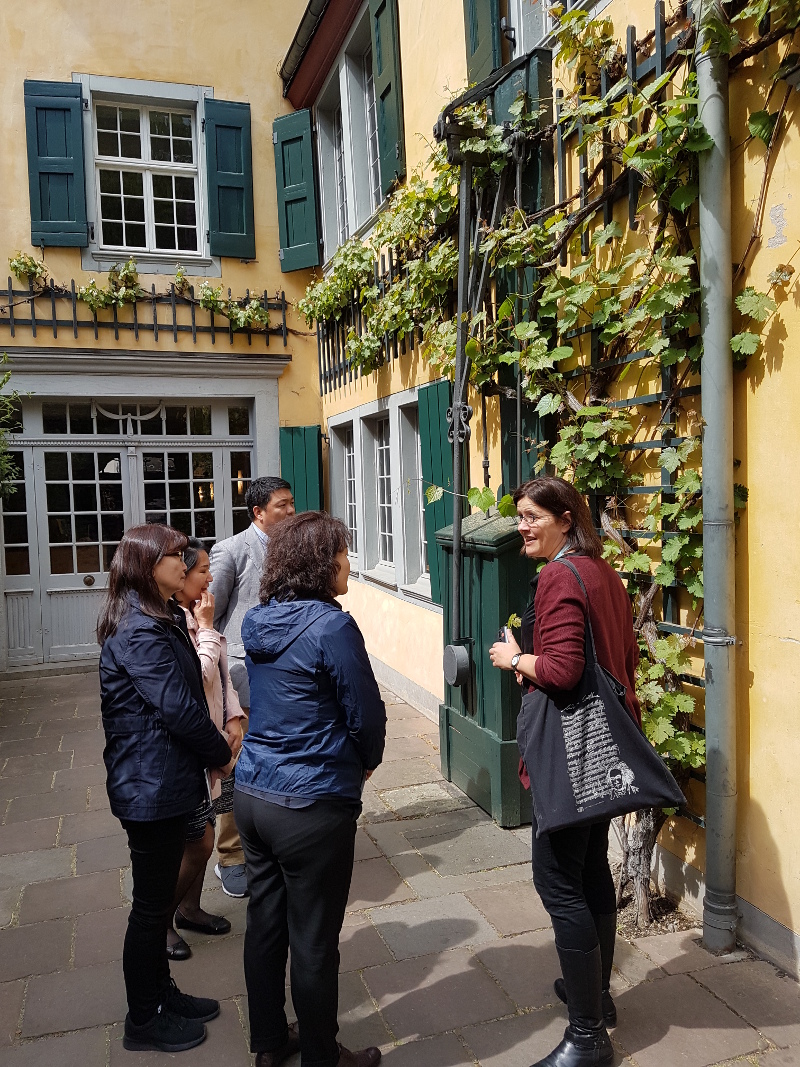
On Thursday, May 3rd, the study trip took place on the premises of terrestris as part of the MoMo project “Integrated Water Resources Management (IWRM) in Central Asia: Model Region Mongolia (MoMo)”. In the morning, the possibilities of modern geodata processing, the MoMo geoportal and its implications for the Mongolian partners were discussed, and the results of these discussions were incorporated into a policy strategy paper. After lunch, a guided tour of the Beethoven House in Bonn took place to enable the Mongolian guests to get to know Bonn’s most famous son.
In the afternoon, the discussions continued. At the end of the day, a small piano concert was presented to our guests by terrestris founder Hinrich Paulsens’ twelve-year-old daughter Solveig.
At the end of the day, there was a bit of Rhineland lifestyle: a visit to the Boennsch Brewery, where the day was concluded in a relaxed fashion.
The Federal Ministry of Education and Research (BMBF) supports the creation of new knowledge in the areas of climate protection and adaptation to climate change, sustainable resource management and innovative environmental and energy technologies within the framework programme “Research for Sustainable Development” (FONA). The overall objective of the MoMo project is the science-based transfer of innovative solutions and priority measures within the framework of Integrated Water Resources Management (IWRM) in Mongolia.
The MoMo project is already in its’ third phase. The aim of the subproject “Spatial Data Management” is the modern collection, storage and visualization of spatially related data in a spatial data infrastructure based on Free Software. The geoportal created in the 2nd phase of the MoMo project will be modernized and adapted to the current needs of RBM (River Basin Management).
The geoportal offers the possibility to upload and style your own geodata, to annotate and print maps, to add services as WMS and much more. One of the special features of the Geoportal is the possibility to create any number of individually configurable WebGIS clients with just a few mouse clicks, so that each individual catchment area can be individually provided with a platform for modern geodata management. Programming knowledge is not required.